Taking the Guesswork out of Wildfire Readiness
Analyzing risk on a per parcel basis
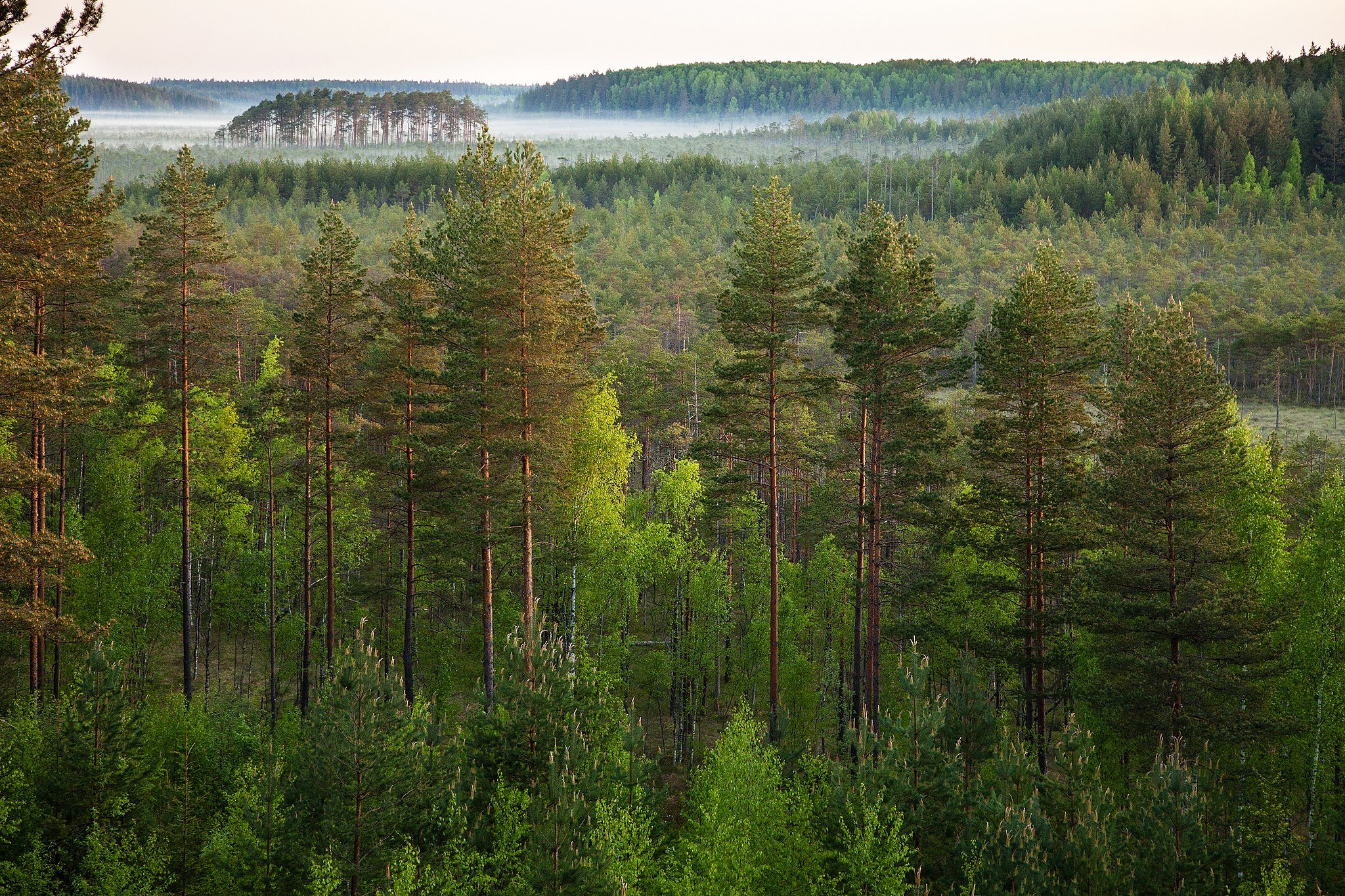
Photo by Kylli28
Understanding wildfire risk is critical for landowners
InfernoGuard has created wildfire risk assessment software that remotely analyzes any large scale property and determines specific high risk areas year round.
We look at 8 different environmental and topographical factors down to 1/10 of an acre to understand wildfire risk unique to your property. This assessment is specifically designed for revenue generating landowners that manage large acreage.
Our Technology
Manage your property on a per parcel basis.
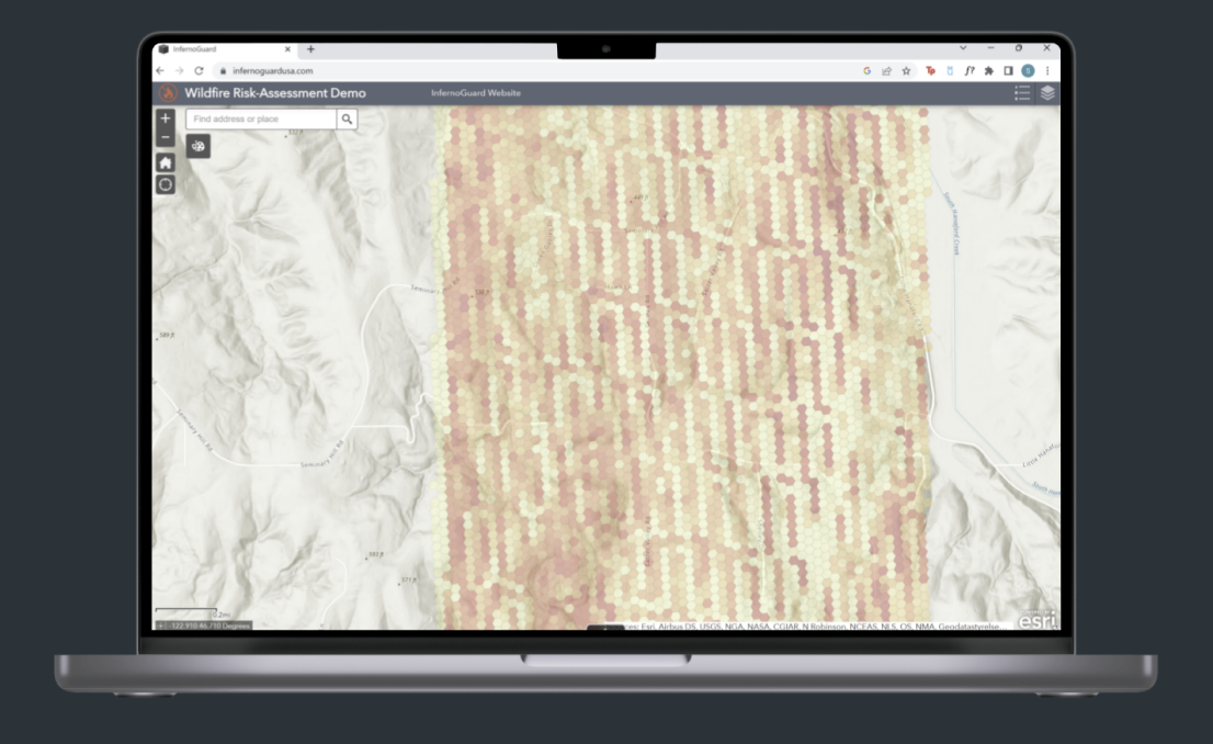
Our machine learning software generates a hex for each 1/10 of an acre. The color of the hex indicates the severity of risk for that hex area.
Understanding what risk factors are affecting your land.
We look at 8 environmental and topographical factors to determine your wildfire risk score for each parcel of land.
“I hope [everyone] can see the benefits this product could have on mitigating the tragic destruction of increasingly dangerous wildfires.”
Daniel Buckley, Chief of Fire and Aviation at Yosemite National Park
Using our Assessment
property address
property coordinates
acreage amount


